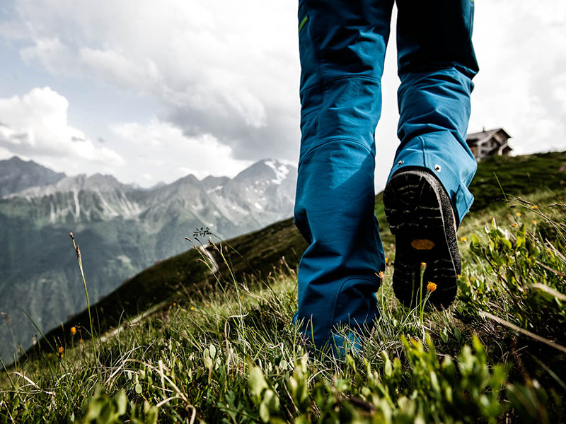
Tours & Hut Tours
Hut Tours
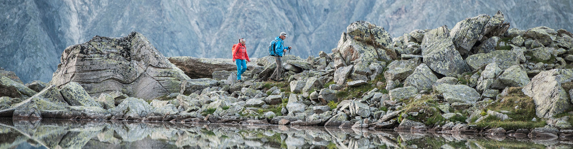
The Stubaier Höhenweg trail connects the Dresdner Hütte with the following huts:
Ascent to the dreamlike Peiljoch, from there along the Wilde-Wasser-Weg trail to the foot of the Sulzenau glacier and then to the Sulzenau Hütte.
Alternatively, you can cross the Trögler and get directly down to Sulzenau Hütte (very steep).
Walking time: 2.5 – 3 hours
Difficulty: mountain trail (black)
Hikers with good stamina levels can continue from the Sulzenau Hütte to the Nürnberger Hütte.
Past Grünausee lake the trail leads across the Niederl or alternatively across Maierspitze summit to the day’s destination - Nürnberger Hütte.
Walking time: 5-6 hours
Difficulty: mountain trail (black)
Scenically beautiful and long mountain hike past Mutterbergsee lake to Grawagrubennieder, the highest spot of the Stubaier Höhenweg trail. On the other side steep downhill into Hohe Falbesoner valley. Just before the Regensburger Hütte one gets to one of the most beautiful upland moors.
Walking time: 7 hours
Difficulty: mountain trail (black)
Demanding, high-alpine mountain hike across the Hintere Daunkopf into the Ötztal valley.
The route is marked throughout, there are no glacier passages and only a few simple climbing sections (difficulty I), yet compared to the stages of the Stubaier Höhenweg Trail you need to be more sure-footed and have a good sense of orientation.
Walking time: 7 hours
Difficulty: high-alpine mountain hike
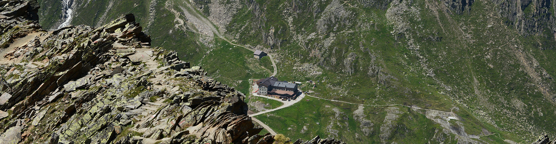
From the Dresdner Hütte to the Eisgrat mountain station and along the glacier path to the Jochdohle mountain restaurant. Descent across Gaiskarferner (orientation aids) to the moraine and down to the Hildesheimer Hütte (steep).
Walking time: 4 hours (with use of Gletscherbahn lift 1 hour)
Difficulty: mountain trail (black); The glacier passages are marked by poles and in this area there are no crevasses. Depending on the weather conditions you need crampons. Information on the conditions are available at the huts or at the Neustift Alpine Centre.
From the Dresdner Hütte to the Eisgrat mountain station and along the glacier path to the Eisjoch. Brief descent across Windachferner and then into Warenkar. On the other side steeply uphill to the Hochstubaihütte. The highest-located hut in the Stubai Valley captivates with its special location and an overwhelming view.
Walking time: 7 hours (with use of the Gletscherbahn 4 hours)
Difficulty: mountain trail (black). The short glacier passage is marked by poles and in this area there are no crevasses. Depending on the weather conditions you need crampons. Information on the conditions are available at the huts or at the Neustift Alpine Centre.
Alternatively, alpinists with glacier experience can take the route across Warenkarcharte.
Walking time: 6 hours (with use of the Gletscherbahn 3 hours)
Difficulty: high-alpine mountain hike – tour experience required; no trail markings; complete glacier equipment (rope, crampons etc.) required;
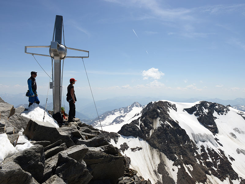
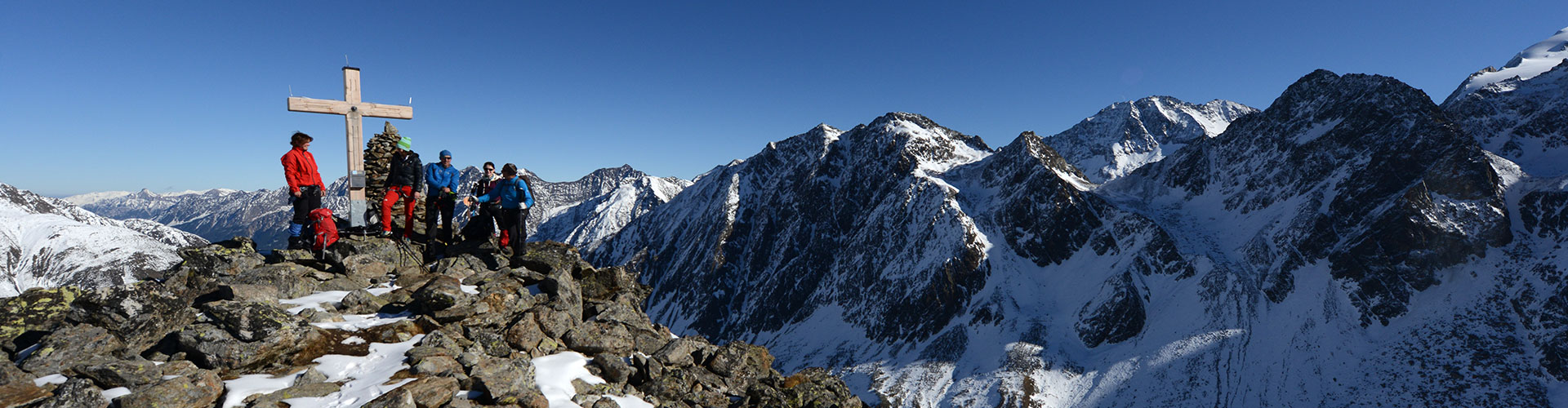
Summit Tours
You can start fascinating summit tours right at the doorstep of the Dresdner Hütte. The requirements range from "sure-footedness" to "secure hiking on glaciers and in rock".
This summit is easy to get to and thus a rewarding half-day destination.
Walking time: 45 minutes
Difficulty: mountain trail (red)
With the impressive view of Sulzenau glacier, this summit is one of the most beautiful vantage mountains of the area.
Walking time: 2 hours
Difficulty: mountain trail (black)
If sure-footed, also mountain hikers can get to this 3,000m-peak.
Walking time: 4 hours (with use of the Gletscherbahn lift: 45 minutes)
Difficulty: mountain trail (black)
This high-alpine hike leads across the Daunjoch to the Daunkopf.
Walking time: 3 hours
Difficulty: mountain trail (black)
Nicely-shaped summit with delightful climbing passages;
Walking time: 5 hours (with use of Gletscherbahn lift: 2-3 hours)
Difficulty: high-alpine tour, climbing along the ridge up to a difficulty level of III
This summit is located near the lifts, but it offers all you can ask of a nice high-alpine tour.
Walking time: 5 hours (with use of the Gletscherbahn lift: 2-3 hours)
Difficulty: high-alpine tour, climbing along the ridge up to a difficulty of II, complete via ferrata set (rope, crampons etc.)
This is the highest mountain of the Stubai Alps. The leads along the Heinrich-Klier-route and ranks amongst the most beautiful high-alpine tours. Short climbing sections along the ridge alternate with nice glacier crossings.
Walking time: 5 hours (with use of the Gletscherbahn lift approx. 3.5 hours)
Difficulty: high-alpine tour, climbing along the ridge up to a difficulty of II, complete glacier equipment required (rope, crampons etc.), difficult to orientate in case of poor visibility!
The Dresdner Hütte is starting point for one of the most beautiful crossings in the East Alps. Having climbed the Zuckerhütl and the Wilde Pfaff one spends the night at the Müller HÜtte or the Becherhaus. On the second day a brief ascent up to the Wilde Freiger follows and then the long way back into the Stubai Valley.
Walking time: 2-day tour
Difficulty: high-alpine tour, climbing along the ridge up to a difficulty of II, complete glacier equipment required (rope, crampons etc.), difficult to orientate in case of poor visibility!
These neighbours of the Zuckerhütl are also rewarding day destinations or can – in good weather – be added tot he Zuckerhütl tour.
Walking time: 3-4 hours
Difficulty: Difficulty: high-alpine tour, complete glacier equipment required (rope, crampons etc.), difficult to orientate in case of poor visibility!
Hiking Tours
Ascent to Egesensee lake; after a break and refreshing you continue to Niederl, descent to the waterfall and back to the Dresdner Hütte;
Walking time: 1 hour
Difficulty: mountain trail (red)
Past Egesensee lake to Niederl and along the Stubai Höhenweg trail to Mutterbergsee lake; With the glaciers at the backdrop this place is perfect for taking pictures. Same way back or direct descent to Mutterbergalm.
Walking time: 4 hours
Difficulty: mountain trail (red)